Your fiber records,
in the field
and in ArcGIS.
Splicepoint connects your ArcGIS map to your fiber plant. Techs find a fiber, record a splice or add a pedestal from a phone. Approved work lands back in your ArcGIS layers. One set of records, kept up by the people who do the work.
Fiber records live in two places. Neither one is in the truck.
Most fiber networks keep strand counts in a spreadsheet and the map in ArcGIS. The spreadsheet says who is on fiber 37. The map says where the cable runs. Neither one tells a tech in a handhole what to do, and ArcGIS Pro does not run on a phone. So changes get written on paper, and the records drift a little more each week.
The spreadsheet
Strand counts, customers and laterals. Easy to edit, easy to get wrong.
- Addresses and statuses mixed in one column
- No map, no history
- Every route on its own tab
The GIS
Cables and structures, drawn well. Locked to a desktop.
- Doesn't know which fiber is whose
- Needs ArcGIS Pro to change
- Field changes come back late, or not at all
The field
The people who know what is really in the ground.
- Paper splice sheets
- Photos lost on phones
- Calls to the office to ask which fiber is free
One set of records. The field and the office both keep it current.
Splicepoint puts the strand counts and the GIS together, and gives each person the screen that fits their job.
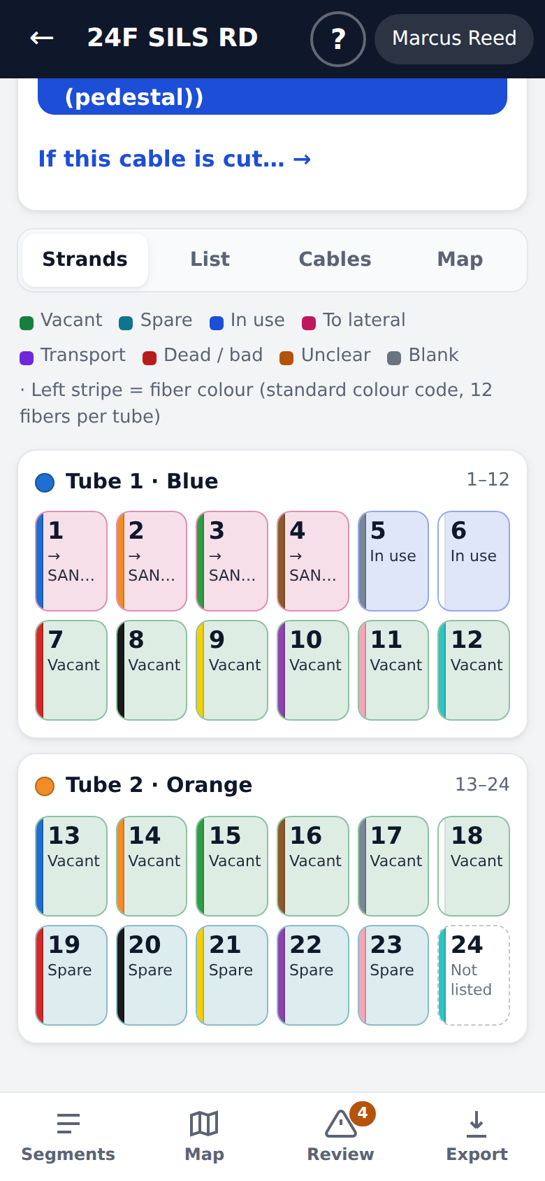
A phone app for the crew
Look up a fiber and its colors. Record a splice by tapping two fibers. Add a pedestal with GPS and a photo. See who goes down before you cut. Everything is saved with the tech's name on it.
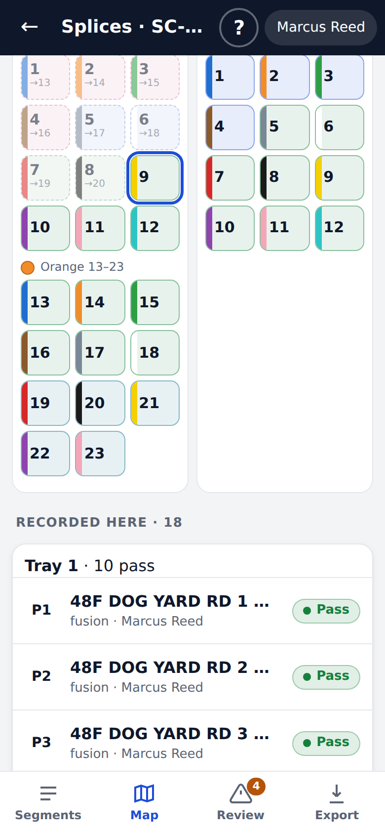
- Strand tiles in the standard color code
- Splice trays, side by side
- GPS, address and coordinate search
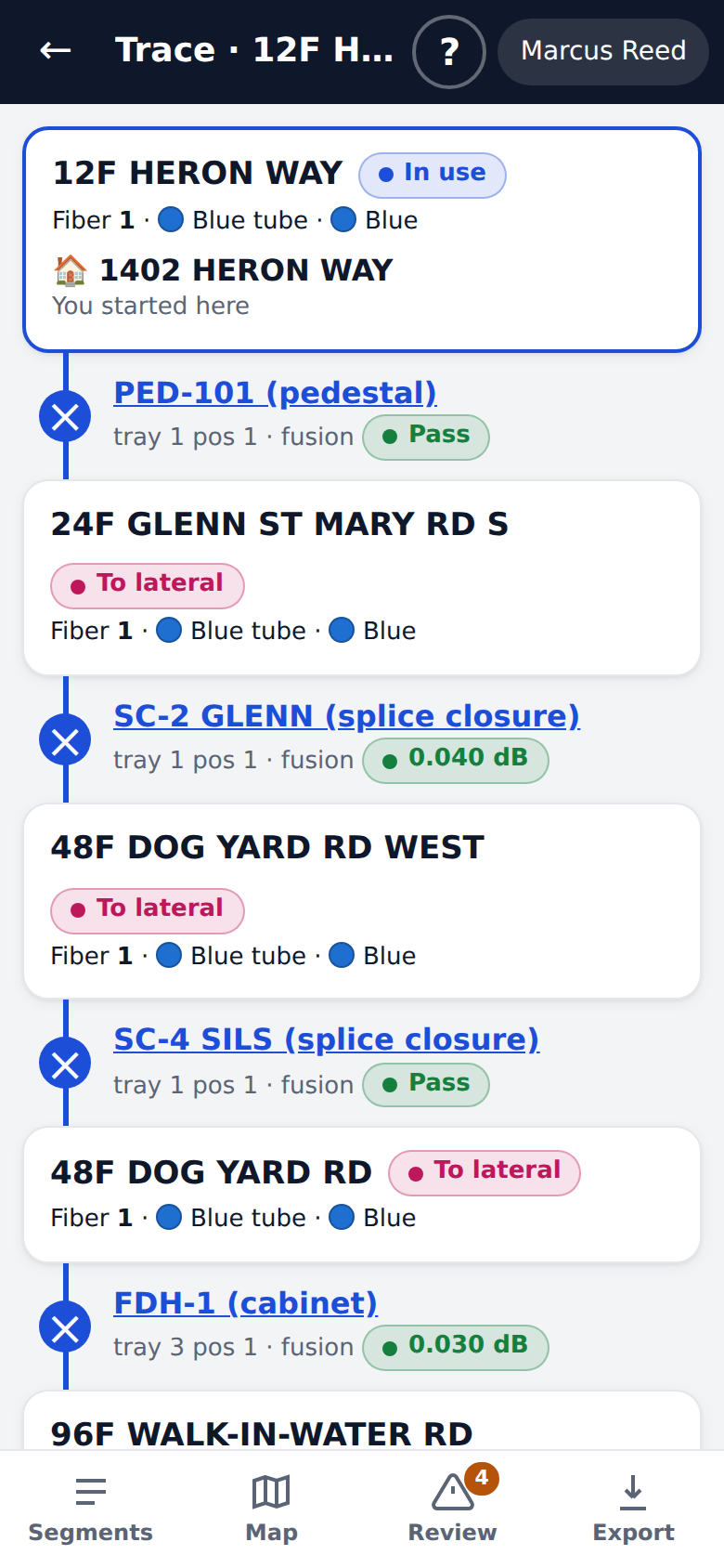
- Trace a fiber and check a cut
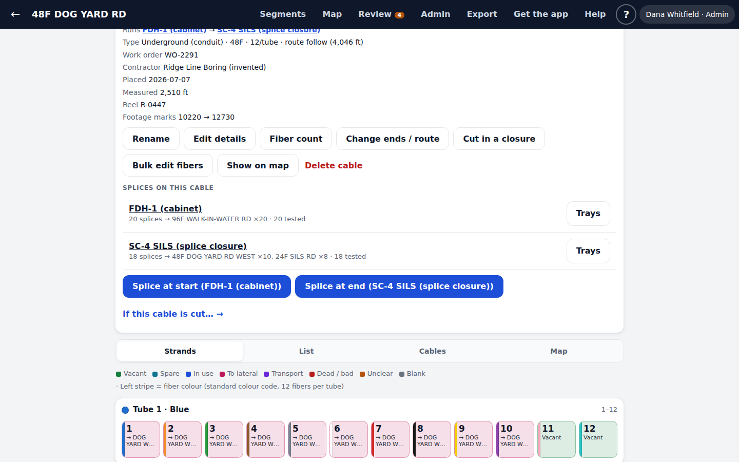
A desktop view for the office
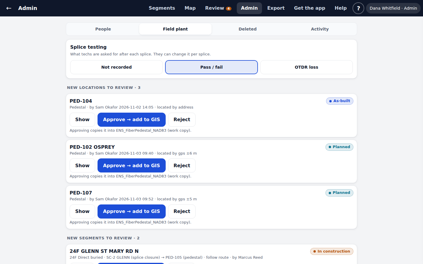
Clean up the old records with a review queue. Link each segment to its cable pieces in the GIS. Approve field work into your ArcGIS layers. See every change and who made it.
- Review queue for problem records
- Approve field work into ArcGIS
- People, roles and activity
- Restore anything deleted in the last 30 days
Built for the way fiber work really happens.
Here is the short list. The full feature list has every one.
Strand view
Every fiber, by tube and color, with its status and customer.
Splice trays
Tap a fiber on one cable, then its partner. Or splice a whole run at once.
Testing and OTDR
Pass or fail, or OTDR loss. Import a CSV and check the preview first.
Trace
Follow a fiber through every closure, tray and position to the customer.
Cut impact
See every customer and cable fed through a cable before you cut it.
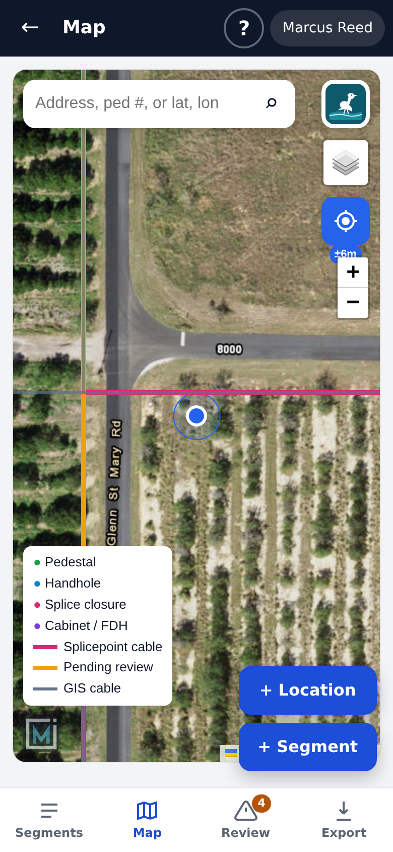
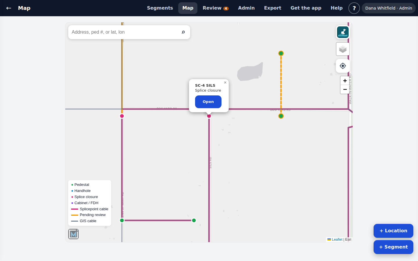
Map and GPS
Your plant on a phone map, with live GPS and search.
Field capture
Add pedestals, closures and cables where you stand, with photos.
Approval into ArcGIS
Field work waits for an admin, then lands in your own layers.
History and undo
Every change has a name and a time. Undo, and restore for 30 days.
It works with your GIS, not around it.
Splicepoint runs beside your ArcGIS Pro project. It reads your cables and structures, and keeps its own tables in the same geodatabase.
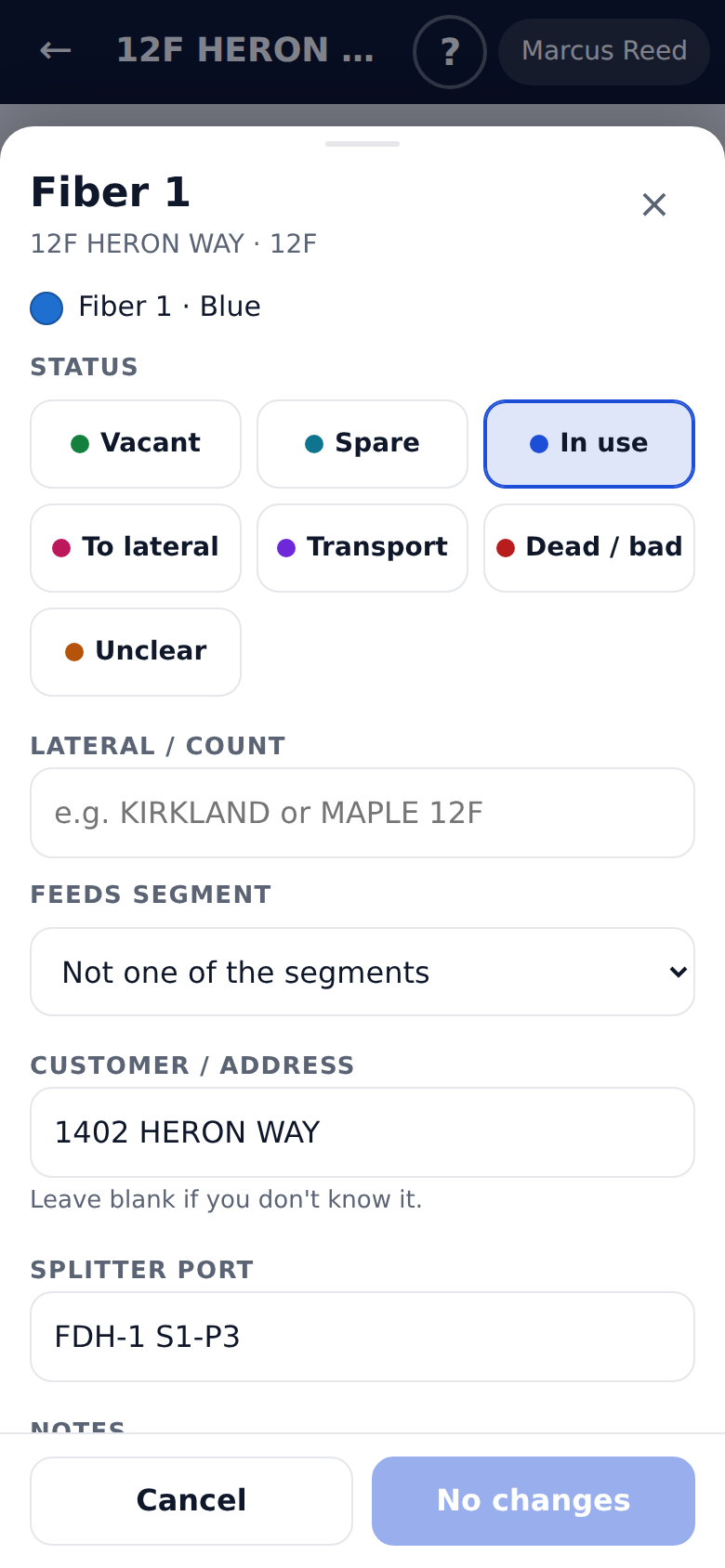
What your crew will see.
These screens come from the demo, a made-up network you can try yourself.
Fiber networks that are too big for a spreadsheet and too small for a big software project.
Small ISPs
A few hundred miles of fiber, a small crew, and records that live in one person's head.
Co-ops
Electric and telephone co-ops building fiber, with GIS staff and field crews who need the same facts.
City and county fiber
Public networks that need clear records, history and roles.
Contractors
Splicing and construction crews who hand over as-builts the owner can use.
From your spreadsheet to your crew's phones.
- 01
We look at your records
Your spreadsheet, your ArcGIS project and how your crew works today.
- 02
We set it up
On your PC, next to ArcGIS Pro, on a copy of your geodatabase. We load your fiber counts and flag what needs checking.
- 03
Your team signs in
Phones and desktops, by email code. Training videos and built-in help show every screen.
- 04
Records stay current
The field updates as they work. Admins approve new plant into your GIS.
Your crew can learn it in an afternoon.
Two training videos, one for the phone and one for the desktop, walk through every screen. Help is also built into the app itself.
Good questions we hear a lot.
What do I need to run Splicepoint?
Your fiber cables and structures in an ArcGIS file geodatabase, and a Windows PC or server with ArcGIS Pro on it. Splicepoint runs on that machine, next to your project. Field crews only need a phone with a web browser. They do not need an ArcGIS license.
Will it change my GIS?
Not until you say so. We set it up on a copy of your geodatabase first. Things added in the field stay in Splicepoint's own layers and wait for an admin. When an admin approves one, it is copied into your matching layer. Moving onto your main geodatabase is a step you decide on.
Do I need ArcGIS Online?
No. Splicepoint does not publish anything to ArcGIS Online. Your data stays in your geodatabase.
We keep fiber counts in a spreadsheet. Can you use it?
Yes. That is where most networks start. We load your spreadsheet and keep the original text next to each fiber. Rows that mix an address with a status, or that look wrong, are flagged so someone can check them.
Which phones does it work on?
iPhone and Android. It opens in the browser, and you can add it to the home screen so it opens like an app. There is nothing to install from an app store.
Tell us about your fiber records.
A spreadsheet, a stack of splice sheets, an ArcGIS project nobody in the field can open. Tell us what you have. We will show you Splicepoint on a call and talk about your data.
What happens next
- We call or email you back, usually the same day.
- We show you Splicepoint and look at how you keep records today.
- We set it up on a copy of your data, so you can try it with your own crew.